
MONTROSE, CO – MOAB, UT
let’s wander Where the wifi is weak
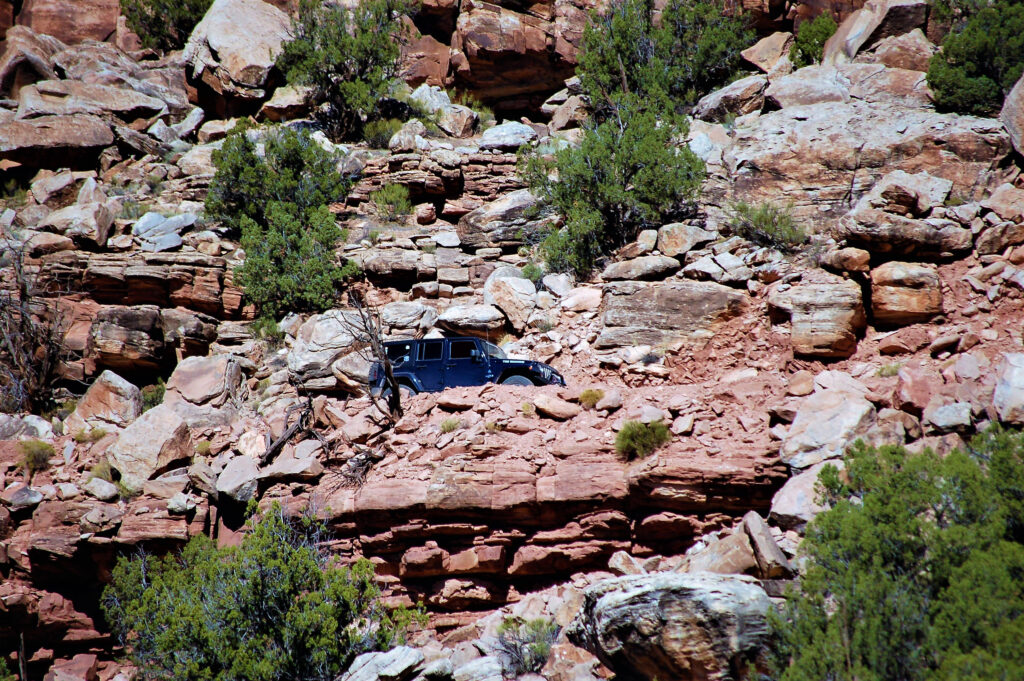
The Rimrocker Trail runs long stretches through remote areas (that’s why it’s awesome). Large portions of the route are rough, narrow and steep (again, awesome). The route between Nucla and Moab is recommended for 4WD/High Clearance vehicles and OHVs only. When traveling on the Rimrocker Trail, users should plan to be self reliant and recognize that cell phone coverage is very limited.
Route signage
Rimrocker Trail markings on the ground consist of fiberglass posts featuring a highly reflective sticker of the Rimrocker Trail Logo.
The Rimrocker Trail Map is meant as a navigation guide for the Rimrocker Trail only. The other roads shown on the map are strictly for information purposes. Users should check travel management restrictions and conditions on all roads prior to travel.