Trail STill Closed
The bad news: There’s still 5 feet of snow at the top and the trail is a no-go right now.The… Continue Reading Trail STill Closed

The bad news: There’s still 5 feet of snow at the top and the trail is a no-go right now.The… Continue Reading Trail STill Closed
The Rimrocker Trail has hit the snooze button for the season and is currently buried under a blanket of snow.… Continue Reading Rimrocker Trail is Closed

Thank you to Sam for sending in this great photo from his family’s trip across the Rimrocker Trail last Saturday.… Continue Reading Snow
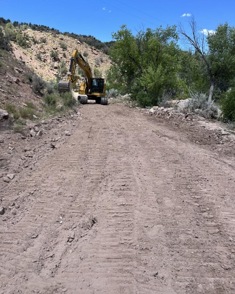
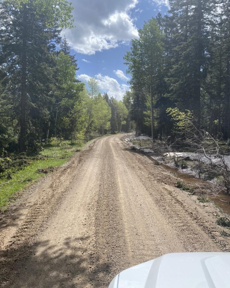
The exposed culvert off U19 Road has been fixed. The Montrose County – Government West End Road and Bridge Crew… Continue Reading U19 Culvert Fixed
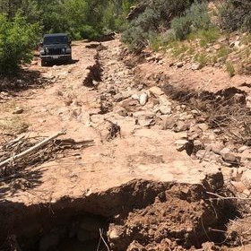
Trail update: there’s a road washout after the Tabeguache Creek crossing around 38.35771, -108.69905. Please take the detour from the… Continue Reading 6/21/23 Trail Update
Welcome to Rimrocker Trail Season 2023! We are open for business 😁Don’t forget to send your pictures to pr@montrosecounty.net for… Continue Reading The Trail is Open