Rimrocker Trail Now open!
Warning: The Rimrocker Trail Is Now Open! Side Effects May Include Epic Views, Dusty Tires, and Sudden Bursts of Joy!(Real… Continue Reading Rimrocker Trail Now open!


Warning: The Rimrocker Trail Is Now Open! Side Effects May Include Epic Views, Dusty Tires, and Sudden Bursts of Joy!(Real… Continue Reading Rimrocker Trail Now open!
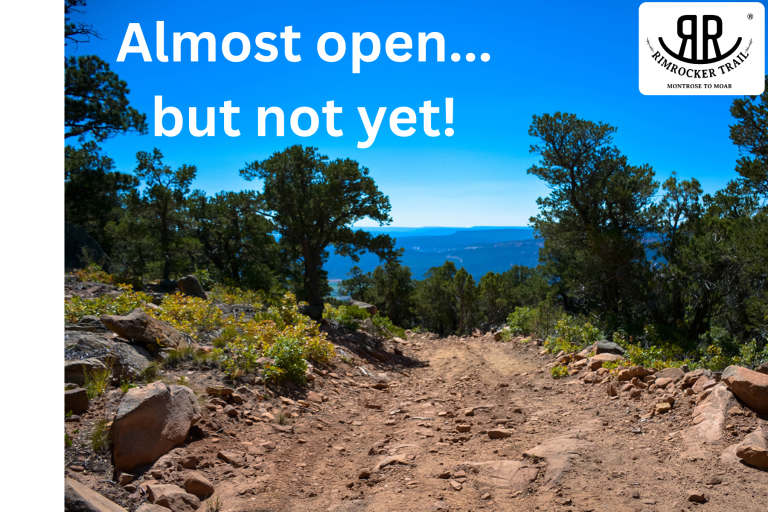
We are excited to share that the Rimrocker Trail is almost open. Now we are just waiting for confirmation that… Continue Reading Rimrocker Trail Is Almost Open…
Though we had a warm fall, winter has arrived, and with it, fresh snow! Due to current snow conditions, portions… Continue Reading Rimrocker Trail Closed
Montrose, COLO.— Sheriff Gene Lillard has removed fire restrictions effective immediately for all of unincorporated Montrose County. The decision was based… Continue Reading Montrose County Lifts Fire REstrictions Effective Immediately
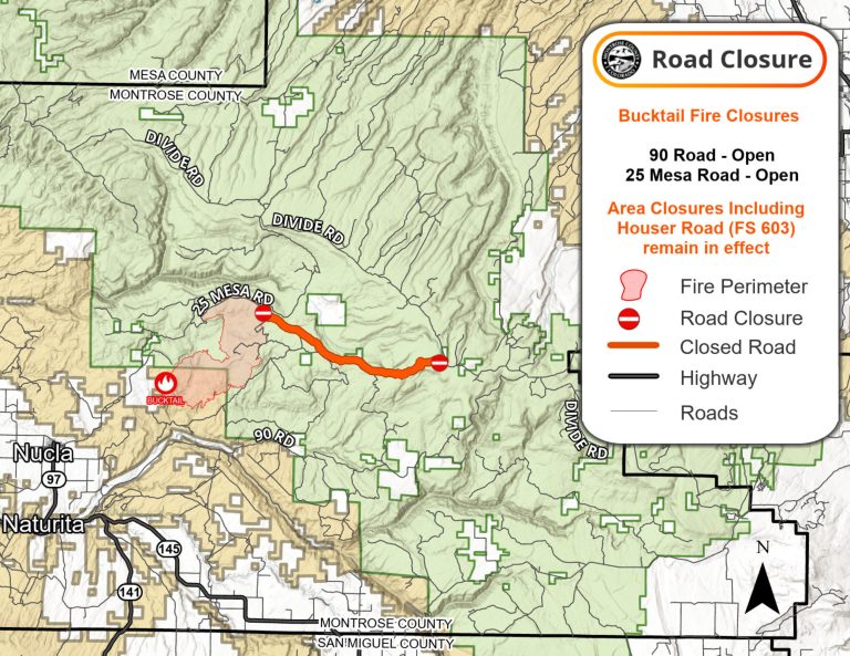
8/12/24 UPDATE The Rimrocker Trail is now open! Additional information about closures in the area due to the Bucktail Fire:… Continue Reading 8/13/24 Road Closure Info
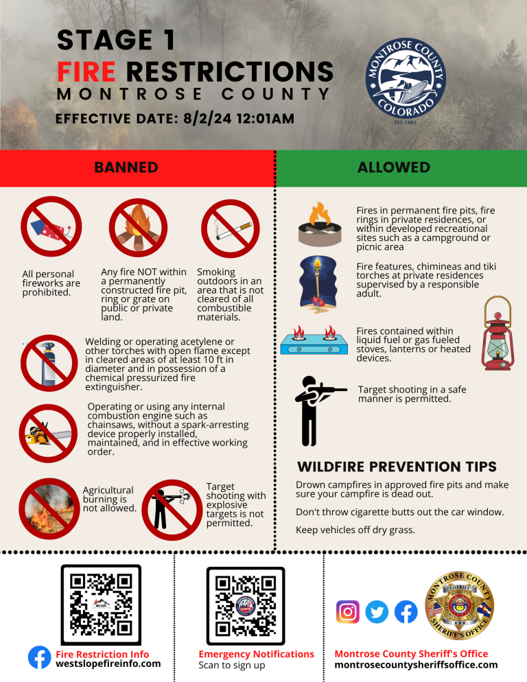
Stage 1 Fire Restrictions Beginning in Montrose County Montrose, COLO.—The unincorporated area of Montrose County will implement Stage 1 Fire… Continue Reading Stage 1 Fire Restrictions in Montrose County