Skip to content
Rimrocker Trail
  • AboutExpand
    • About
    • FAQ
    • Highway 141 Missing Link Project
    • Shavano Gateway Recreation Area
    • PartnersExpand
      • COPMOBA
      • BLM
      • GMUG National Forest
      • Manti La Sal National Forest
    • Montrose County Historical Landmark
  • Maps & GPSExpand
    • Maps and GPS
    • Detailed Directions Montrose to Moab
    • Detailed Directions- Moab to Montrose
    • Rimrocker Trail Elevation Profile
    • Pick Up a Print Map
    • Bypass the Uncompahgre Plateau
  • Side TrailsExpand
    • Interactive Map for Side Trails
    • Bypass the Uncompahgre Plateau Map
    • Dolores River Canyon
    • Monogram Mesa Loop Bull Canyon Tour
    • Long Park Mine Tour
    • Paradox Valley Petroglyph Tour
    • The Wild Horses of Disappointment Valley
    • Uravan, Colorado
    • Scenic & Historic Highway 141 Tour
    • Westcore
  • Visitor InfoExpand
    • Visitor Information
    • Trail Updates
    • Important Travel Info
    • West Slope CO Fire Restriction Info
    • Utah Fire Information
    • OHV/ATV RegsExpand
      • Utah OHV Education Requirement
      • Montrose County OHV/ATV Regulations
      • San Juan County OHV Regulations
    • Manti La Sal Info
    • Montrose
    • Nucla/Naturita
    • Moab
    • West End Trails Alliance
    • Lodging
    • Emergency
  • NewsExpand
    • News
    • Press
  • ContactExpand
    • Contact
    • Tell Us Your Rimrocker Story
    • Get a Bumper Sticker
    • Get a Print Map
  • Logo usage
Rimrocker Trail

Trail Updates

Home / Trail Updates - Page 3
Rimrocker Trail is Now Open

Rimrocker Trail is Now Open

May 13, 2024May 13, 2024

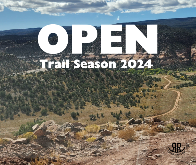
The Rimrocker Trail is now open for the 2024 Season! Don’t forget to send your pictures and permission to use… Continue Reading Rimrocker Trail is Now Open

READ MORE Rimrocker Trail is Now OpenContinue

Not Yet

Not Yet

May 3, 2024May 3, 2024

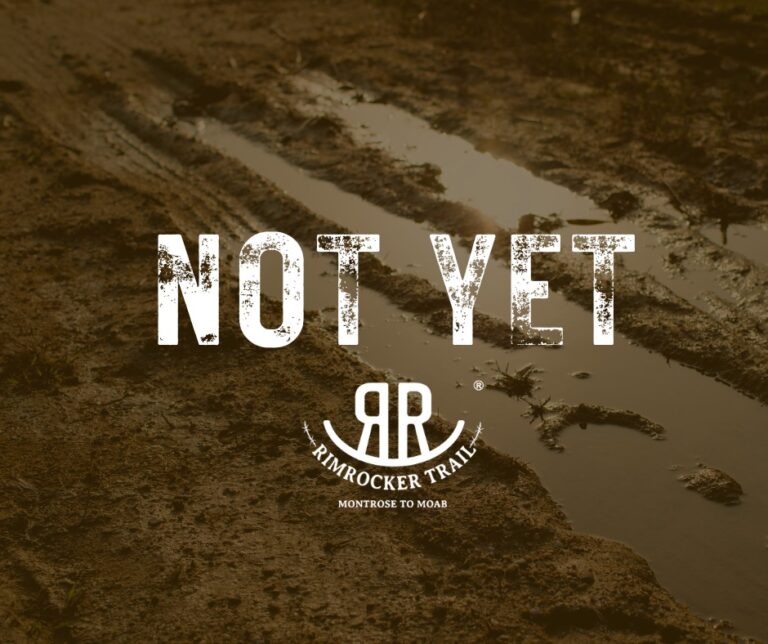
Our Road & Bridge crews are still working on plowing up on Divide Road and the trail remains closed. As… Continue Reading Not Yet

READ MORE Not YetContinue

Trail STill Closed

Trail STill Closed

April 11, 2024April 11, 2024

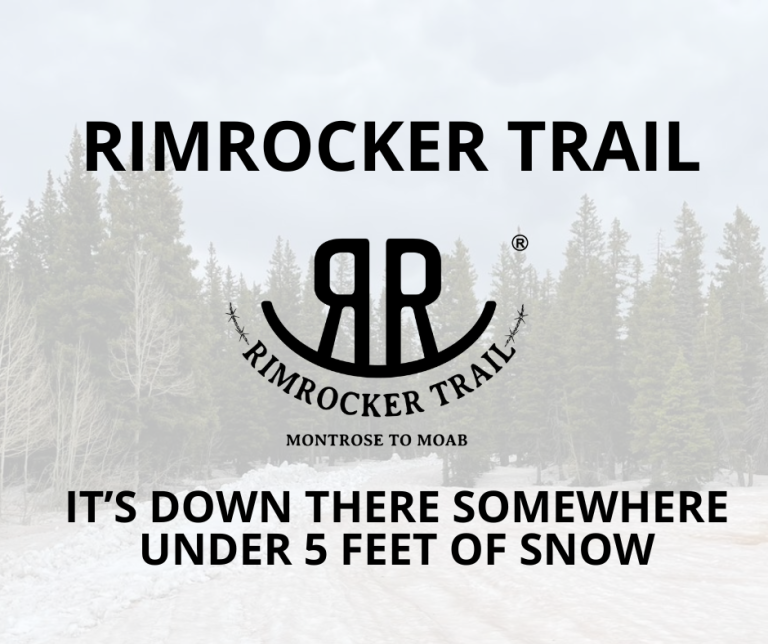
The bad news: There’s still 5 feet of snow at the top and the trail is a no-go right now.The… Continue Reading Trail STill Closed

READ MORE Trail STill ClosedContinue

Rimrocker Trail is Closed

Rimrocker Trail is Closed

December 1, 2023December 1, 2023

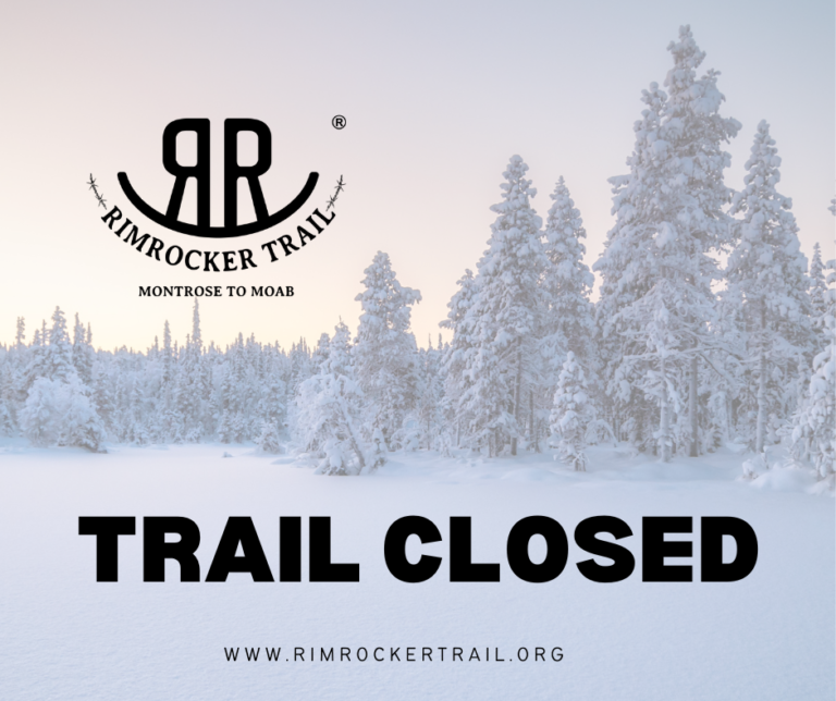
The Rimrocker Trail has hit the snooze button for the season and is currently buried under a blanket of snow.… Continue Reading Rimrocker Trail is Closed

READ MORE Rimrocker Trail is ClosedContinue

Snow

Snow

November 14, 2023November 14, 2023

Thank you to Sam for sending in this great photo from his family’s trip across the Rimrocker Trail last Saturday.… Continue Reading Snow

READ MORE SnowContinue

U19 Culvert Fixed

U19 Culvert Fixed

July 13, 2023July 13, 2023

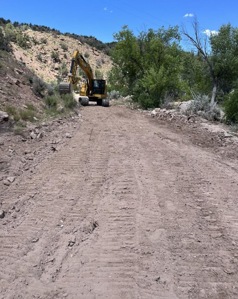
The exposed culvert off U19 Road has been fixed. The Montrose County – Government West End Road and Bridge Crew… Continue Reading U19 Culvert Fixed

READ MORE U19 Culvert FixedContinue

Page navigation

Previous PagePrevious 1 2 3 4 5 Next PageNext

Contact Us

Monday - Friday, 8am – 5 pm

E-mail: pr@montrosecounty.net
Phone: +1 (970) 249 7755

Recent posts

  • The Rimrocker Trail is Open!
  • Portions of the rimrocker trail are still closed!
  • Rimrocker Trail Closed – utah side
  • Deer Creek Fire
  • Rimrocker Trail Now open!

Trail Updates

  • The Rimrocker Trail is Open! August 12, 2025The Rimrocker Trail is Open!
  • Portions of the rimrocker trail are still closed! August 8, 2025Portions of the rimrocker trail are still closed!

VISITOR INFO

  • Important Travel Info
  • Moab
  • Montrose
  • Nucla – Naturita
  • Lodging
  • Uravan, Colorado
  • Visitor Information
  • West Slope Fire Restriction Info
  • Utah Fire Info
  • Home
  • Contact
  • Terms of Use
  • Accessibility and Privacy policy
  • Site Map

© 2025 Rimrocker Trail

Facebook Instagram
  • About
    • About
    • FAQ
    • Highway 141 Missing Link Project
    • Shavano Gateway Recreation Area
    • Partners
      • COPMOBA
      • BLM
      • GMUG National Forest
      • Manti La Sal National Forest
    • Montrose County Historical Landmark
  • Maps & GPS
    • Maps and GPS
    • Detailed Directions Montrose to Moab
    • Detailed Directions- Moab to Montrose
    • Rimrocker Trail Elevation Profile
    • Pick Up a Print Map
    • Bypass the Uncompahgre Plateau
  • Side Trails
    • Interactive Map for Side Trails
    • Bypass the Uncompahgre Plateau Map
    • Dolores River Canyon
    • Monogram Mesa Loop Bull Canyon Tour
    • Long Park Mine Tour
    • Paradox Valley Petroglyph Tour
    • The Wild Horses of Disappointment Valley
    • Uravan, Colorado
    • Scenic & Historic Highway 141 Tour
    • Westcore
  • Visitor Info
    • Visitor Information
    • Trail Updates
    • Important Travel Info
    • West Slope CO Fire Restriction Info
    • Utah Fire Information
    • OHV/ATV Regs
      • Utah OHV Education Requirement
      • Montrose County OHV/ATV Regulations
      • San Juan County OHV Regulations
    • Manti La Sal Info
    • Montrose
    • Nucla/Naturita
    • Moab
    • West End Trails Alliance
    • Lodging
    • Emergency
  • News
    • News
    • Press
  • Contact
    • Contact
    • Tell Us Your Rimrocker Story
    • Get a Bumper Sticker
    • Get a Print Map
  • Logo usage
Search